skip to main
|
skip to sidebar
A small "calendar" site in Boxborough - from Journals (2004)
...near the top saw a disturbance of the soil and rocks which I thought at first was a perc test pit but saw was a little break out zone and there were inconspicuous pile there. First a photo taken standing on a larger low rock, viewing up the wet spot, roughly northwest, towards the horizon: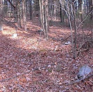 You can see a pile to the right foreground, a rock to the left, a rock-on-rock in the midground, and another in the background a bit to the right. Here are some of those details:
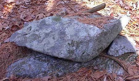
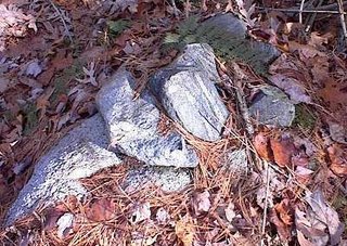
 That direction of view uphill from the rock is -say- northwest. Then I noticed, in a somewhat perpendicular direction east and/or southeast, there was a smidgen of an alignment also visible from the rock where I was standing:
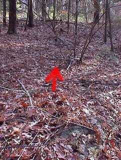 There is a "downhill" horizon in that direction. Seeing this possible alignment, suggested I was coincidentally standing at a designed central viewing point, and also suggested a different meaning for what I was viewing uphill. The pile, rock, rock-on-rocks in the uphill direction were not all in a line. I had been photo'ing them to get a sense of their context. But after seeing the alignment in the other direction, it made me wonder if perhaps these detailed, non-aligned features might have marked various horizon directions also....
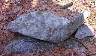
 You can see a pile to the right foreground, a rock to the left, a rock-on-rock in the midground, and another in the background a bit to the right. Here are some of those details:
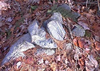
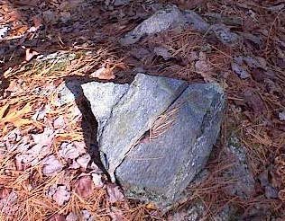
 That direction of view uphill from the rock is -say- northwest. Then I noticed, in a somewhat perpendicular direction east and/or southeast, there was a smidgen of an alignment also visible from the rock where I was standing:
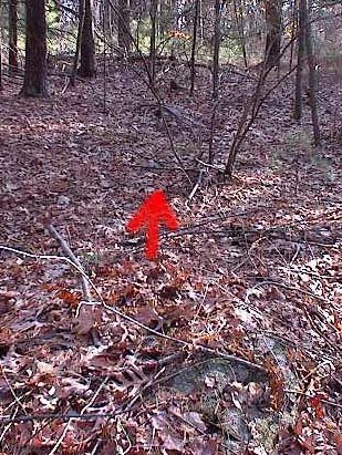 There is a "downhill" horizon in that direction. Seeing this possible alignment, suggested I was coincidentally standing at a designed central viewing point, and also suggested a different meaning for what I was viewing uphill. The pile, rock, rock-on-rocks in the uphill direction were not all in a line. I had been photo'ing them to get a sense of their context. But after seeing the alignment in the other direction, it made me wonder if perhaps these detailed, non-aligned features might have marked various horizon directions also....
No comments :
Post a Comment